Collaboration Options

Explore ways to contribute on this page: submit imagery, provide code improvements, or offer feedback. See partner channels for details.

A dual-monitor workstation in a minimalist home office, both ultra-wide screens displaying detailed Street View imagery and an open-source map editor interface with vector layers and GPS tracks. A matte-black laptop, precise laser mouse, and small GNSS receiver sit on a clean wooden desk with a subtle grain pattern. Soft, diffused daylight from a side window illuminates the workspace, reflecting gently off the monitor bezels and creating faint, controlled shadows. The mood is focused and methodical, evoking advanced geospatial analysis. Captured at a slightly elevated three-quarter angle with sharp focus across the frame, emphasizing cables neatly routed, a visible command-line terminal, and small sticky notes with coordinates. Photographic realism, clean and professional, ideal for a blog about advanced, legal techniques for obtaining and validating Street View imagery.
A close-up, ultra-detailed view of a laptop screen displaying a side-by-side comparison of two Street View platforms: one interface with a Mapillary-style green accent and another resembling Google Street View’s familiar layout, both centered on the same intersection. Around the laptop, a notepad with hand-drawn road segments and camera icons, a USB 3.0 card reader with a microSD card halfway inserted, and an external SSD with a subtle status LED glow rest on a dark, matte desk. Subtle evening desk-lamp lighting creates warm, focused illumination on the devices, with the rest of the room fading into gentle darkness. The atmosphere is analytical and slightly intense, highlighting unbiased evaluation of imagery sources. Shot at a shallow angle with a moderate depth of field, emphasizing the screens while keeping surrounding tools legible, in clean, professional photographic realism.

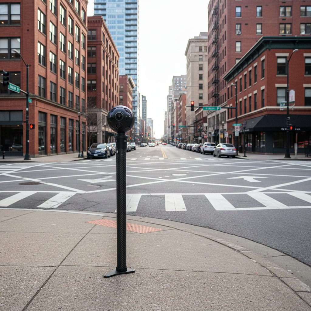
Contribute imagery, code

We welcome high-quality street imagery, open datasets, and thoughtful feedback. Share ideas via our forums, email, or community chats.

Contribution offers

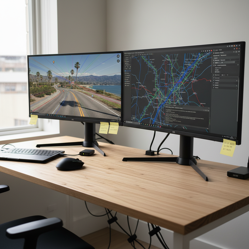
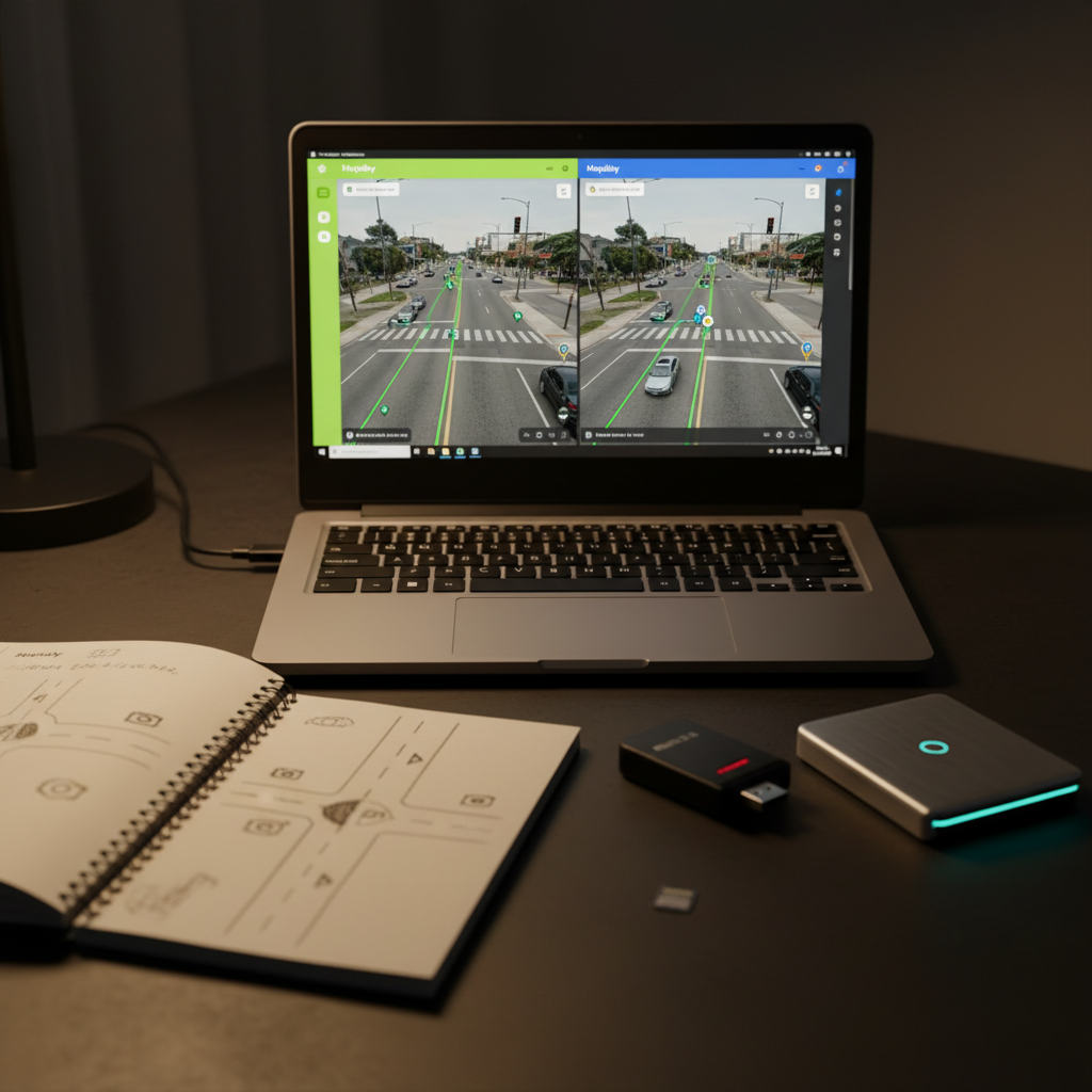
Collect structured proposals such as project ideas, dataset links, and collaboration requests to help coordinate open-source imaging efforts.

Submit forms with clear objectives and required details to streamline review and foster productive partnerships around Mapillary and Street View initiatives.

← Back

Thank you for your response. ✨

A high-precision 360-degree camera rig mounted on a sturdy carbon-fiber monopod, standing alone on a quiet urban sidewalk at a major intersection. Surrounding it are richly detailed buildings, road markings, street signs, and parked cars, all captured with crisp photographic realism. Late-afternoon, slightly overcast light creates soft, even illumination with minimal harsh shadows, emphasizing textures in asphalt, concrete, and brick. The mood is analytical and professional, suggesting careful data collection rather than tourism. Shot from a low, eye-level angle with the camera rig placed on the rule of thirds, background gently softened with natural bokeh. The composition feels clean, modern, and technical, symbolizing the process of capturing unbiased street-level geoinformation for open platforms like Mapillary and Google Street View.