Street View Capabilities
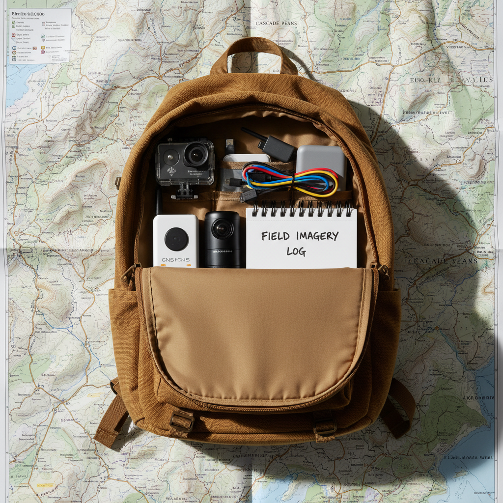
Discover practical methods for capturing street-level imagery and sharing it ethically. This page highlights tools and workflows used by open-source communities.
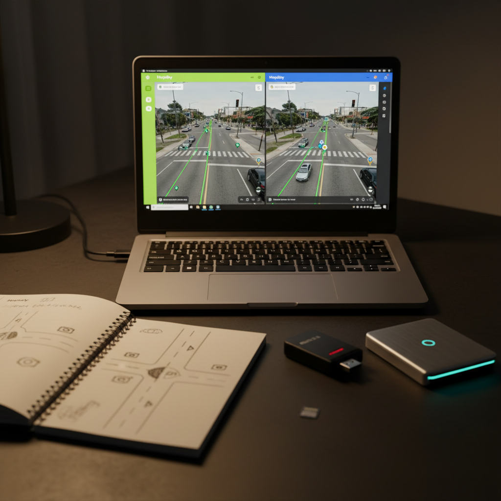
Capture, processing, publishing
Outline the three core capabilities—capture, processing, and publishing—to guide readers through advanced geoinformation workflows.
About
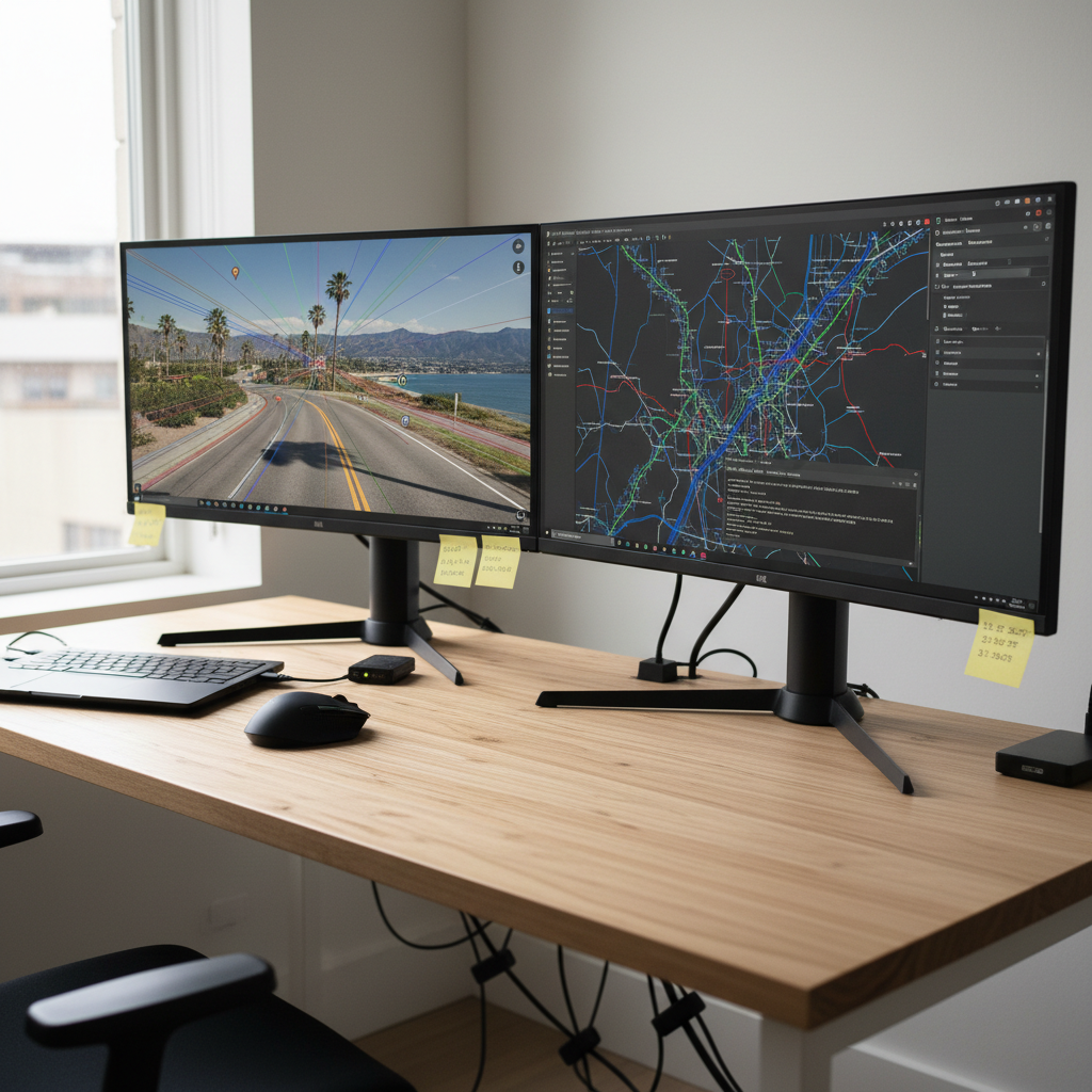
Workflows and Tools
We welcome in-depth diagrams, side-by-side tool comparisons, and extended explanations to complement posts.